See more: Art Print


Montana Map Archival Print
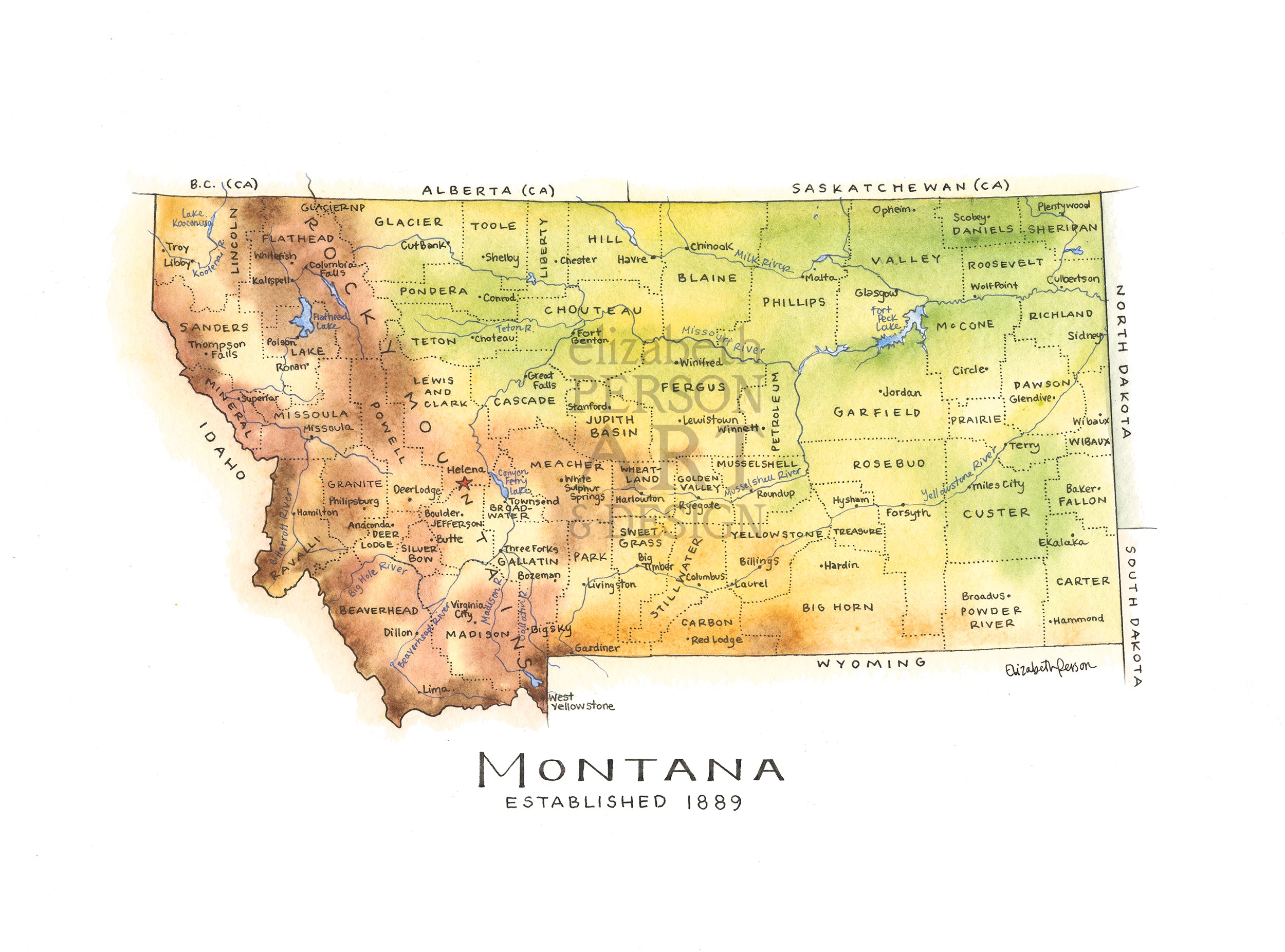
This map of the state of Montana is hand-drawn and painted in earth-toned watercolors that reflect the dramatic topography of the state. I spent hours comparing source material, drawing and re-drawing this map, so I have a new depth of admiration for the mapmakers of old who pioneered this exacting business! Whether you're from Butte, Billings, Bozeman, Missoula or anywhere else in MT, you'll appreciate this topographic map of the state, featuring the Rockies, key cities, and every county!
This is an unframed archival print on high-quality matte paper. Watermark is not included on the physical print.
Montanans may also be interested in my watercolor rendering of the Bridger Range.